The 5 most beautiful hiking trails
In de omgeving van Vrådal
Hiking in Vrådal
Welcome to Vrådal, a picturesque village nestled between the impressive mountains of Telemark and the crystal-clear Lake Nisser. This Norwegian gem is perfect for hikers of all levels – from families to adventurers. Here we present the five most beautiful trails to explore Vrådal's stunning natural surroundings.


1. Venelifjell Summit Trail
Distance: 4.8 km (round trip)
Start Elevation: 690 m
Max Elevation: 995 m
Elevation Gain: 305 m
Difficulty: Moderate
The Venelifjell Summit Trail gently ascends through forested paths, leading to an impressive viewpoint at 995 meters. Enjoy the peaceful surroundings, spot local wildlife, and breathe in fresh mountain air along the way. At the summit, you're rewarded with breathtaking panoramic views of the crystal-clear Lake Nisser and Telemark’s majestic mountain landscape. Perfect for families and nature lovers seeking a moderately challenging hike with spectacular scenery.
2. Roholtsfjell Trail
Distance: 18.17 km
Start Elevation: 250 m
Max Elevation: 1335 m
Elevation Gain: 1085 m
Difficulty: Challenging
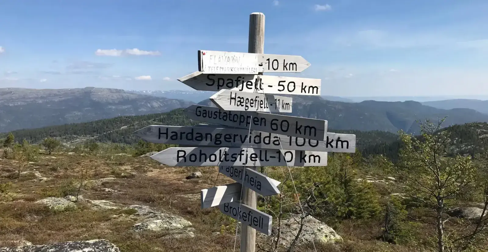
This demanding trail takes adventurous hikers up steep paths, rocky climbs, and exciting rope sections to the spectacular summit of Roholtsfjell. At the top, you're rewarded with stunning panoramic views of Vrådal, Lake Nisser, and the surrounding mountains. Ideal for experienced hikers seeking a challenging and rewarding adventure.


3. Hægefjell from Vrådal
Distance: Variable (approx. 12 km round trip)
Start Elevation: 300 m
Max Elevation: 1021 m
Elevation Gain: 721 m
Difficulty: Moderate to challenging
This scenic hike guides you through expansive forests and gentle mountain ridges up to the impressive summit of Hægefjell. Along the way, enjoy stunning views and peaceful natural surroundings. Highly recommended for hikers seeking both adventure and tranquility.
4. Venelifjell Rundt
Distance: 7.3 km
Start Elevation: 695 m
Max Elevation: 905 m
Elevation Gain: 210 m
Difficulty: Moderate
Venelifjell Rundt is a peaceful circular trail that loops around the slopes of Venelifjell. The route features varied scenery with open ridges, forests, and scenic viewpoints over Lake Nisser. With its moderate elevation gain, this trail is perfect for hikers who want to enjoy nature at a relaxed pace. A great choice for a calm and rewarding outdoor experience.


5. Fossøy Nature and Culture Trail
Distance: 4 km (loop)
Start Elevation: ~250 m
Max Elevation: ~260 m
Elevation Gain: ~10 m
Start Coordinates: 59.2905° N, 8.4860° E
Difficulty: Easy
This scenic trail on Fossøy Island offers a gentle 4 km loop, suitable for families and seniors. Along the path, you'll find 18 informational boards detailing local history, geology, and ecology. Highlights include archaeological sites from the Stone and Iron Ages, views of Lake Nisser, and the picturesque Småstraum locks. The trail is partially wheelchair accessible up to the Fossøy Golf Café, which provides restrooms and refreshments during summer months. Picnic areas are available along the route, making it perfect for a leisurely outing.


